Groundwater exploration in Pakistan requires careful consideration of local geological conditions, terrain variations and the availability of underground water resources. Before drilling begins, a preliminary geophysical survey can help identify subsurface features that deserve further investigation.
The PQWT-S500 groundwater detector is designed to support this process by collecting natural electric field data at different frequencies. Its automatic mapping function converts field measurements into geological profile charts, providing technicians with additional information for evaluating potential groundwater-bearing structures.
This article focuses on how the PQWT-S500 can be applied during a groundwater survey in Pakistan, from field preparation and data collection to profile interpretation and drilling site assessment.
1. Why Preliminary Groundwater Surveys Matter in Pakistan
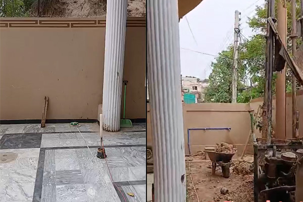
Pakistan has diverse geological environments, including alluvial plains, mountainous regions and sedimentary formations. These different geological conditions can influence groundwater distribution and the suitability of potential drilling locations.
Drilling without sufficient geological investigation may lead to unnecessary costs, particularly when the subsurface structure is poorly understood.
A preliminary groundwater survey helps technicians:
Examine variations in underground electrical properties.
Identify geological structures that may be associated with groundwater.
Compare potential survey locations.
Obtain additional information before selecting a drilling site.
Geophysical survey results should be evaluated alongside local geological information and, where available, existing borehole records.
2. How the PQWT-S500 Supports Field Investigation
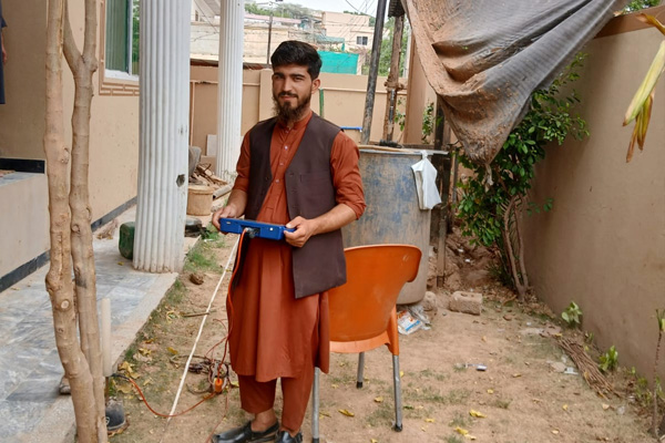
The PQWT-S500 is a groundwater exploration instrument designed to measure natural electric field components at different frequencies.
Rather than relying on a visual indication of underground water, the instrument records electrical responses associated with variations in subsurface geological conditions.
During field investigation, technicians collect measurements at designated survey points. The equipment processes the recorded information and generates curves and geological profile charts.
These results can help technicians examine:
Changes in underground electrical characteristics.
Variations between different geological layers.
Potential groundwater-bearing structures.
Areas that may require additional investigation.
The interpretation of these results requires consideration of local geological conditions. A low-resistivity response alone does not confirm the presence of a productive aquifer.
3. Field Survey Procedures in Pakistan
A structured field procedure helps improve measurement consistency and makes the collected data easier to interpret.
Step 1: Assess the survey area
Before operating the instrument, technicians should review the terrain, accessible survey routes and available geological information.
The survey area should be divided into appropriate measurement lines according to the investigation objectives.
Step 2: Prepare the PQWT-S500
Check the main unit, detection cables, electrodes and power supply. Set up the equipment according to the operating instructions and select the appropriate measurement parameters.
Step 3: Collect field measurements
Carry out measurements at the designated survey points. Maintain consistent electrode placement and measurement procedures to reduce avoidable variations between readings.
Step 4: Generate geological profiles
After collecting the required measurements, use the instrument's automatic mapping function to generate profile charts.
The charts provide a visual reference for examining changes in subsurface electrical responses along the survey line.
Step 5: Evaluate potential drilling locations
Compare the profile results with geological information and other available site data.
Locations showing geological characteristics consistent with the survey objectives can be shortlisted for further investigation.
Final drilling decisions should be based on comprehensive geological assessment rather than a single instrument reading.
4. Understanding Groundwater Mapping Results
One of the practical advantages of the PQWT-S500 is its ability to display measurement results through curves and geological profile charts.
These visual outputs help technicians examine variations along a survey line without relying entirely on manual data processing.
When reviewing the results, attention should be given to:
The continuity of electrical response patterns.
Differences between adjacent measurement points.
Possible geological boundaries and structural changes.
Correlations with known geological formations.
It is important to distinguish between an electrical anomaly and a confirmed groundwater resource. Additional geological investigation and drilling verification may be required.
5. The Value of Geophysical Data Before Well Drilling
For groundwater exploration projects, preliminary geophysical information can provide a useful reference before drilling equipment is mobilized.
The PQWT-S500 supports field data collection and geological profile visualization, helping technicians organize survey findings and compare potential locations.
Its practical value lies in combining on-site measurements with visual data analysis, rather than depending solely on surface observations or experience-based site selection.
For projects in Pakistan and other regions with varying geological conditions, this approach can contribute to a more systematic groundwater investigation process.
6. Explore PQWT Groundwater Detection Solutions
Different groundwater exploration projects may require different equipment configurations and investigation depths.
The PQWT-S500 belongs to the PQWT S-series automatic mapping groundwater detector range. It is designed for field measurements and geological profile analysis.
For more information about PQWT groundwater exploration equipment, including technical specifications and available configurations, visit our official product page.
Conclusion
Groundwater exploration requires a combination of field measurements, geological knowledge and careful interpretation. In Pakistan, the PQWT-S500 provides a practical tool for collecting natural electric field data and generating geological profile charts during preliminary groundwater investigations.
By combining instrument measurements with local geological information, technicians can obtain additional references for evaluating potential groundwater exploration sites before drilling.