As an advanced detection technology, ground penetration radar plays an increasingly important role in geohazard investigation. It can effectively help us understand and respond to various geologic hazards, including ground cracks, karst subsidence, landslides and active fractures.
I. Application of ground crack investigation
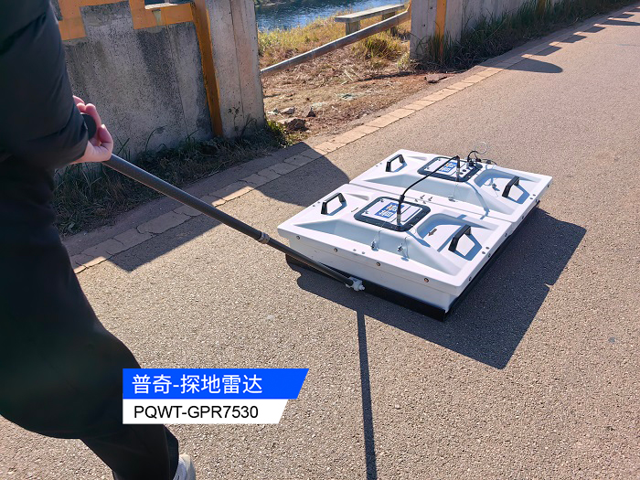
Ground cracks are usually generated by the result of the joint action of many factors, such as over-exploitation of groundwater, uneven ground settlement caused by a large number of man-made activities, and the increase of fracture activities caused by natural factors. Once ground cracks occur, their harm is extremely serious and can cause a large number of casualties and huge property losses. However, the process of occurrence of ground cracks is relatively slow, and at the initial stage, they only appear intermittently on the surface of the ground, with a small scale and a width of only a few millimeters, which is easy to be ignored by people. It is difficult to clearly observe the extension of cracks by ordinary ultrasonic method, but ground penetration radar is capable of doing so. The ground penetration radar can be used to detect the presence of cracks, their shapes and widths by selecting the detection points and superimposing the detection images several times.
For example, in the investigation of ground cracks in a certain area, ground penetration radar accurately detected the small cracks that were not easily detected at the initial stage, which provided a key basis for the subsequent prevention and treatment work.
Application of karst subsidence investigation
Karst collapse mainly occurs in hidden bedrock or dolomite area, due to the long-term dissolving effect of groundwater, the bedrock gradually forms cavities, and with the expansion of the scope of the cavities, the bedrock cover layer forms soil holes, which ultimately leads to karst collapse. This kind of geological disaster has a strong hidden nature, and people often do not pay enough attention to it, and do not realize the seriousness of the problem until it causes serious consequences. It is difficult to accurately detect the hidden karst subsidence by ordinary detection methods, but ground penetration radar can solve this problem. Firstly, according to the characteristics of the area, choose the appropriate type of ground penetration radar, determine the transceiver distance and recording length, and then continuously superimpose and scan to obtain the relevant images. According to the effect of image display, if the wave group shows hyperbolic characteristics, strong signal and multi-phase, it can be judged as a hidden dissolution area; if there is a group of strong waves in the image, it can be concluded that it is a hidden karst collapse area.
For example, in the investigation of a karst area, ground penetration radar successfully identified the potential karst subsidence area, and measures were taken in advance to avoid the occurrence of disasters.
Application of landslide investigation
Landslides mostly occur in sloping geomorphic regions, and may be triggered by long-term erosion of surface water, submerged erosion of groundwater, as well as construction activities and seismic activities. In the past, to cope with landslides, engineering measures or seismic survey method are often used, but these methods are not only labor-intensive and costly, but also the accuracy of the results is difficult to ensure. In contrast, ground penetration radar is effective in landslide investigation.
For example, in the landslide hazard investigation in a mountainous area, ground penetration radar quickly and accurately determined the scope and structure of the landslide body, which provided strong support for the management work.
Application in active fracture investigation
As a huge disaster hazard, active fractures can induce earthquakes, ground cracks, ground subsidence and other geological disasters, which are extremely harmful. Accurately determining the location of active fractures is crucial for engineering construction to avoid dangerous areas or take effective protective measures to minimize losses. In the investigation of active fractures, ground penetration radar gradually replaces traditional methods such as drilling and deformation monitoring by virtue of its advantages of speed, efficiency and economy.
In conclusion, the wide application of ground penetration radar in geologic disaster investigation provides strong technical support for preventing and responding to geologic disasters, helps to reduce casualties and property losses, and guarantees the sustainable development of the society.
Translated with DeepL.com (free version)


