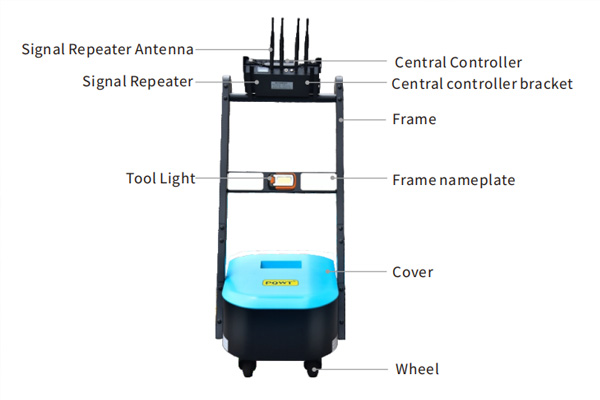
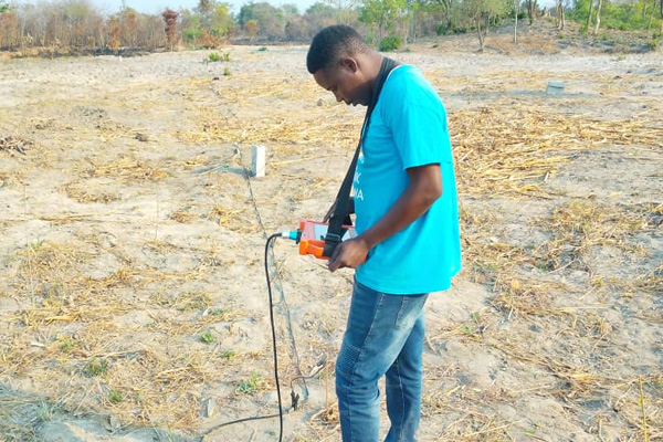
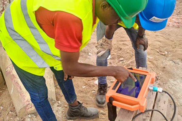
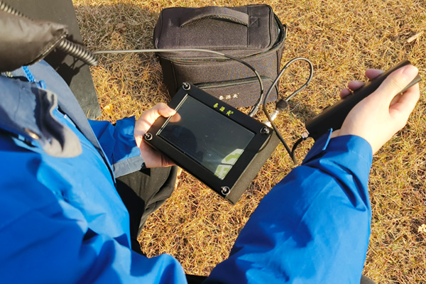
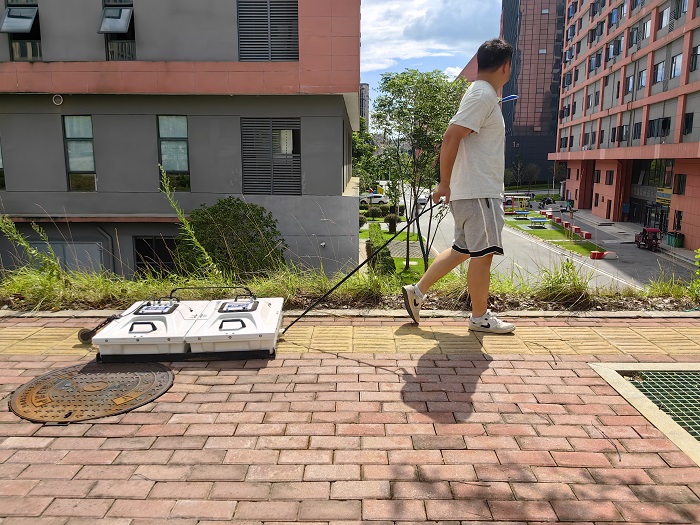
GroundPenetrating Radar (GPR) is a geophysical method that utilizes an antenna to transmit and receive high-frequency electromagnetic waves to detect the properties and distribution patterns of substances within a medium. By analyzing the waveform, amplitude intensity and time change characteristics of the received electromagnetic wave signals, the spatial location, structure, morphology and burial depth of the underground medium can be deduced. Ground Penetrating Radar (GPR) technology is widely used in many fields because of its high efficiency, non-destructive and high resolution.
Technical principle
A Ground Penetrating Radar (GPR) system usually consists of a transmitting antenna and a receiving antenna. When the transmitting antenna sends high-frequency electromagnetic pulses into the ground, these electromagnetic waves will be reflected or refracted at the interface of different media. The difference in electrical properties of the underground medium determines the strength and propagation speed of the reflected waves. The receiving antenna captures these reflected electromagnetic waves and converts them into analyzable data. By processing this data, an image of the underground structure can be constructed, thus revealing the location and characteristics of underground objects.
Diverse designations
Ground-penetrating radar technology has different designations due to its application in different fields, such as ground-penetrating radar, subsurface radar, geo-radar, pulse radar, pipeline-detecting radar, ground-penetrating radar, and so on. These different designations reflect the application characteristics of ground-penetrating radar in specific industries.
Areas of application
Archaeology: Ground-penetrating radar can help archaeologists to determine the location, scale and layout of the site, and reduce the damage of direct excavation of cultural relics.
Mineral exploration: In mineral resources exploration, ground-penetrating radar can be used to identify the existence and distribution of underground mineral deposits.
Disaster Geological Survey: It is used to assess the risk of geological disasters such as earthquakes and landslides, and to monitor changes in unstable geological bodies.
Geotechnical investigation: In civil engineering projects, ground-penetrating radar can be used to assess foundation stability and identify potential geological problems.
Engineering quality inspection: in construction projects, it can be used to check the distribution of reinforcement, cracks and other defects in concrete structures.
Building Structure Detection: To detect the structural integrity of the interior of buildings, such as bridges, tunnels and roads.
Military target detection: In the military field, it is used to detect buried mines, unexploded ordnance and other hidden targets.
Advantageous features
Fast and efficient: Ground Penetrating Radar (GPR) enables a fast and continuous detection process compared to traditional underground detection methods.
High resolution: Provides detailed information on underground structures for accurate analysis.
Simple to operate: the equipment is lightweight and easy to carry and operate.
Cost-effective: Overall, ground-penetrating radar is cost-effective with low usage costs.
As an advanced non-invasive detection technology, ground-penetrating radar shows great potential and value in several industries. With the continuous progress of technology, the application scope of ground-penetrating radar will be further expanded to provide strong support for the development of human society.


