Choosing groundwater exploration equipment is not simply a matter of selecting the instrument with the greatest claimed depth or the largest number of functions. The appropriate survey method depends on the geological setting, survey objective, terrain, expected depth and practical conditions at the site.
Before drilling a water well, a field team may need to identify potential water-bearing structures, compare candidate areas and determine where further investigation is justified. Geophysical equipment can provide useful subsurface information for this process, but the results should be interpreted together with geological and hydrogeological evidence.
What Should a Groundwater Survey Determine Before Drilling?
A pre-drilling groundwater survey should provide information that can support practical site selection. Depending on the project, the survey may need to address:
- Where potential water-bearing structures may occur
- Which geological features could control groundwater occurrence
- What depth range requires further investigation
- Which areas should receive priority for detailed measurement
- Where additional verification is needed before drilling
The objective is to reduce uncertainty around a proposed drilling site rather than treat one instrument reading as proof of a productive well.
Which Site Conditions Affect Equipment Selection?
Geology and Rock Type
Rock type, weathering, fractures, faults and sedimentary structures can influence groundwater occurrence and the physical response measured by a geophysical instrument. A method that performs well in one geological setting may require a different survey design in another.
Terrain and Accessibility
Mountains, slopes, farmland, urban areas and restricted sites impose different requirements on survey layout and equipment portability. The available working area and access to measurement points should be considered before fieldwork begins.
Expected Depth and Survey Objective
A preliminary regional survey and a detailed investigation around a proposed well do not necessarily require the same measurement approach. The expected depth and the type of information required should therefore be defined before selecting equipment.
Sources of Interference
Power lines, buildings, buried infrastructure, electromagnetic noise and difficult ground conditions may affect measurements. A suitable survey plan should identify potential interference and include appropriate comparison or control measurements.
How Do Different Groundwater Survey Methods Compare?
Electrical and Resistivity Methods
Electrical and resistivity-based methods measure variations in the electrical properties of subsurface materials. These variations may help identify boundaries or anomalies associated with changes in lithology, moisture, fractures or other geological structures. Interpretation should consider local geology rather than assuming that a low-resistivity zone is automatically groundwater.
Natural-Electric-Field Methods
Natural-electric-field methods use naturally occurring electrical signals measured at the ground surface. Changes in the measured response may provide information about subsurface structures. Their usefulness depends on geological setting, survey design, measurement quality and interpretation.
Ground-Penetrating Radar
GPR can provide high-resolution information about shallow subsurface structures in suitable ground conditions. Its penetration and usefulness for groundwater-related investigation depend strongly on soil properties, moisture, electrical conductivity and the survey objective. It should not be treated as a universal deep-groundwater method.
Nuclear Magnetic Resonance
NMR groundwater surveying is a specialized geophysical approach that can provide information related to subsurface water-bearing conditions. Because its equipment, survey environment and interpretation requirements differ from conventional electrical methods, it should be selected according to project scope and technical requirements.
Why There Is No Single Best Method
Groundwater exploration is site-specific. The same technique may produce different results under different geological and environmental conditions. Method selection should therefore follow the survey objective and field conditions instead of a generic ranking of technologies.
How Should a Pre-Drilling Groundwater Survey Be Planned?
1. Collect Existing Information
Review regional geology, topography, existing wells, springs, drainage patterns and available hydrogeological information before field measurements.
2. Define the Survey Objective
Decide whether the project requires regional screening, comparison of several candidate areas or detailed investigation of a proposed drilling site.
3. Plan Measurement Points or Survey Lines
Lay out measurement points or lines according to terrain, geological structure and the target of the investigation. Avoid relying on a single point as sufficient evidence for a drilling decision.
4. Collect and Compare Measurements
Where appropriate, use multiple measurement points or repeated observations. Comparing nearby locations can help distinguish a local anomaly from a broader subsurface pattern.
5. Interpret the Results in Geological Context
Instrument data should be considered together with surface geology, terrain and existing hydrogeological information. A geophysical anomaly can have more than one possible cause, so interpretation should remain evidence-based.
How Should Groundwater Detection Data Be Interpreted?
A useful survey report should distinguish measured data, interpreted anomalies and drilling recommendations.
For example, an electrical anomaly may be associated with groundwater, clay, weathered rock, fractures or other geological conditions. The anomaly itself is therefore not proof of a productive aquifer.
Interpretation should consider whether the anomaly is consistent across several measurement points, whether it aligns with known geological structures, whether its depth is plausible for the project and whether other site evidence supports the interpretation.
Why Is Drilling Verification Still Important?
Geophysical exploration can reduce uncertainty, but it does not physically replace a well. Drilling and subsequent well evaluation provide direct evidence about the formation encountered and the actual water-bearing conditions.
For higher-confidence projects, geophysical data should be combined with geological observations, hydrogeological information and appropriate drilling verification. This approach reduces dependence on a single measurement or interpretation.
How PQWT Groundwater Detectors Fit Into the Survey Workflow
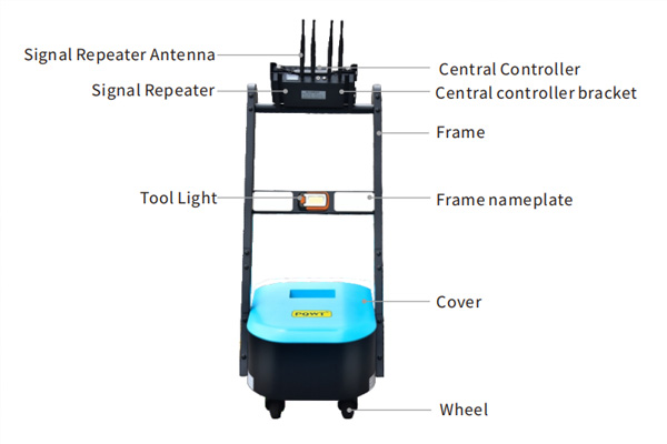
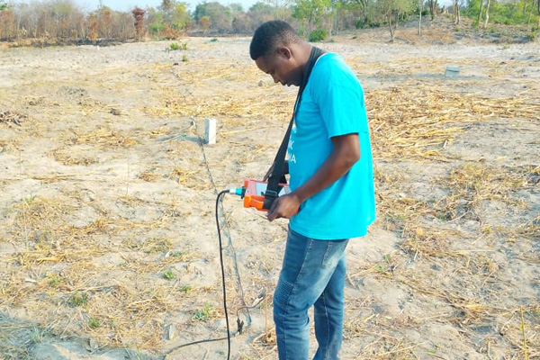
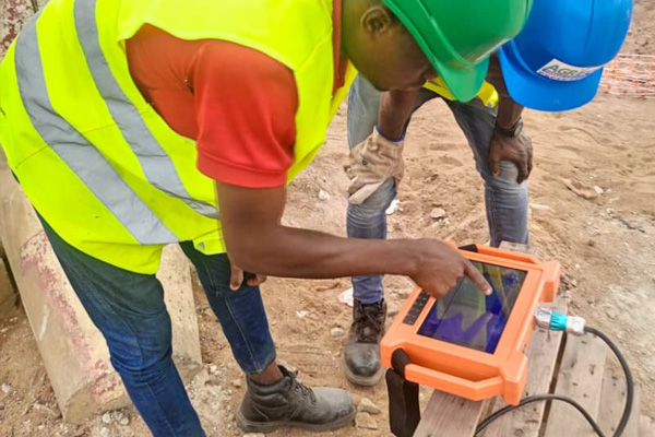
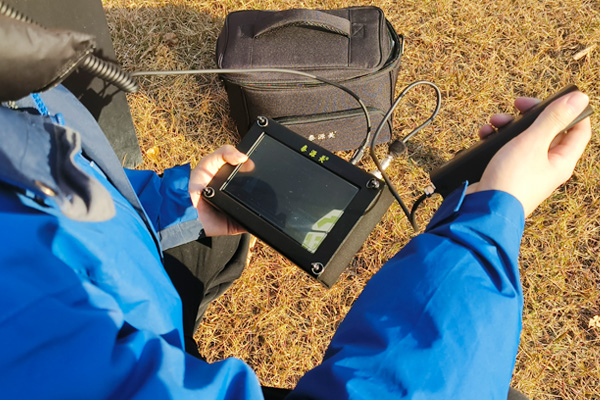
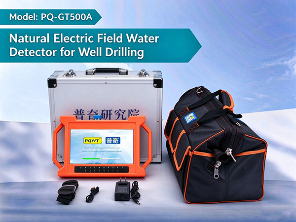
PQWT develops groundwater detection equipment for field surveys and water-well site investigation. The official groundwater category currently lists six product lines. The equipment should be selected according to project area, expected depth, terrain, geological conditions and required measurement workflow.
FAQ
What is groundwater exploration equipment used for?
It is used to collect subsurface information that can support groundwater investigation and water-well site selection. Different methods provide different types of information and should be matched to field conditions.
Can a groundwater detector guarantee a successful well?
No. A detector provides measurement data and interpreted indications. Actual drilling results depend on local geology, hydrogeology, drilling conditions and other factors.
How should I choose a groundwater detector?
Consider the survey objective, geological environment, expected depth, terrain, measurement layout, portability and the type of data required. The instrument should match the field task rather than being selected only by a claimed maximum depth.groundwater detectors
Should groundwater detection be completed before drilling?
A pre-drilling survey can provide useful information for comparing candidate drilling areas and reducing uncertainty. It should be combined with geological and hydrogeological information and, where appropriate, drilling verification.
Conclusion
Groundwater exploration equipment is most useful when it is selected as part of a survey strategy rather than treated as a standalone solution. Geological conditions, terrain, survey objectives, expected depth and interference all affect the appropriate survey approach.
A structured workflow—site assessment, survey planning, data collection, interpretation and drilling verification—provides a stronger basis for water-well site selection. PQWT groundwater detectors can serve as field tools within this process, with the specific model selected according to project