Choosing a suitable location for a water well is an important step in groundwater development. Drilling in an unsuitable area can lead to additional costs, insufficient water yield, or the need to relocate the well.
Before drilling begins, survey teams should assess the local geology, available groundwater information, site conditions, and potential water-bearing structures. Geophysical surveys can provide additional subsurface information to help compare possible drilling locations.
A groundwater detector can support this preliminary assessment, but its results should always be interpreted alongside geological and hydrogeological evidence.
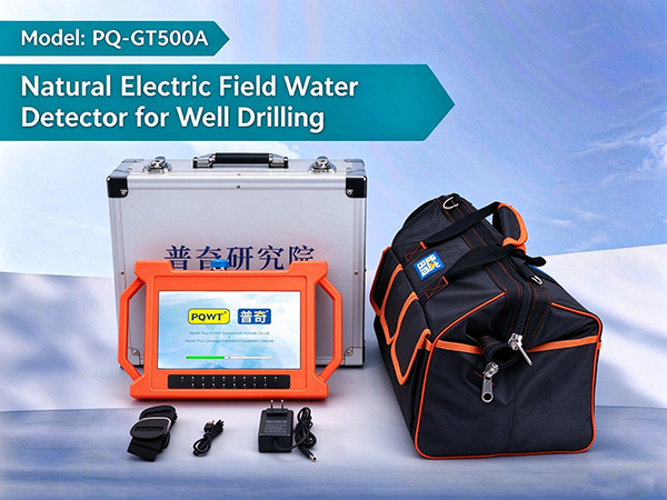
1、Review the Geological Conditions Before Surveying
The first step is to understand the geological environment of the proposed well site. Rock type, weathering, fractures, faults, sediment distribution, and local groundwater conditions can all influence where groundwater occurs and how it moves.
Where available, review geological maps, existing well records, topographic information, and previous survey results before planning field measurements.
This initial assessment helps survey teams identify areas that deserve closer investigation and avoid relying on surface appearance alone.
2. Use Geophysical Measurements to Investigate Subsurface Conditions
Surface observations cannot reveal every geological structure beneath the ground. Geophysical survey methods provide another source of information by measuring physical properties associated with subsurface materials.
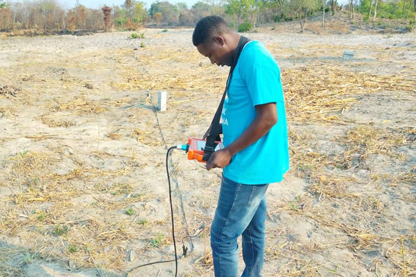
PQWT groundwater detection equipment uses measurements of natural electric field variations at different frequencies to help analyze changes in subsurface electrical properties.
These variations may reflect differences in geological formations, rock composition, weathered zones, or fractured structures. Under suitable geological conditions, the results can help identify areas for further groundwater investigation.
However, an electrical anomaly does not automatically indicate a productive aquifer. Interpretation depends on the local geology, measurement conditions, survey configuration, and the experience of the survey team.
3. Plan Survey Lines and Measurement Points
A well-designed survey layout is essential for obtaining useful field data.
Before collecting measurements, define the survey area, establish appropriate measurement lines, and select measurement points according to the equipment instructions and site conditions.
Where practical, compare results from multiple lines or nearby locations rather than basing the decision on a single measurement. Consistent survey procedures also make it easier to evaluate differences between locations.
Survey teams should document the measurement layout, field conditions, instrument settings, and any potential sources of interference. This information helps support later interpretation and comparison.
4. Compare Potential Water Well Locations
Once the field data have been collected, compare the geophysical results with the available geological information.
Areas that show relevant subsurface variations may warrant additional investigation, particularly where the results are consistent with known geological structures or local groundwater conditions.
When evaluating potential drilling sites, consider:
Geological structure and rock type
Possible weathered or fractured zones
Existing groundwater and well records
Topography and local drainage
Survey consistency and measurement quality
Access, drilling conditions, and project requirements
No single indicator should determine the final drilling location. The most suitable site is the one supported by the strongest combination of geophysical, geological, hydrogeological, and practical evidence.
5. Confirm the Drilling Plan Before Work Begins
Before drilling, review the survey interpretation and confirm whether additional investigation is needed.
Depending on the project, this may involve consulting a hydrogeologist, comparing nearby wells, reviewing regional aquifer information, or carrying out further geophysical measurements.
Groundwater availability, depth, and sustainable yield cannot be established from a detector reading alone. Drilling results must ultimately be assessed against actual subsurface conditions and well performance.
A structured evaluation before drilling helps project teams make better-informed decisions and may reduce the risk of unnecessary drilling costs.
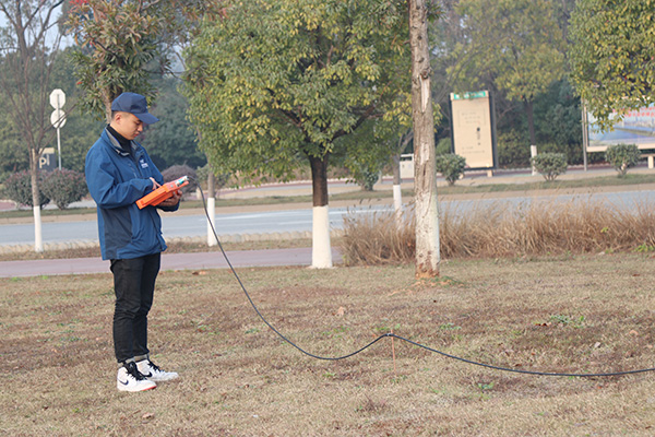
How Can PQWT Groundwater Detection Equipment Help?
PQWT develops groundwater detectors and geophysical survey equipment for field investigations and groundwater exploration projects.
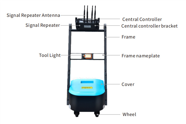
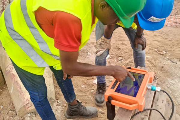
Depending on the model and survey requirements, the equipment can support the collection and analysis of subsurface electrical field data. Certain models also provide automatic mapping and geological profile displays to help operators review measurement results.
When selecting equipment, consider the required survey depth, geological environment, measurement method, portability, data presentation, and the operator's technical experience.
Explore the PQWT Groundwater Detector Range to compare available equipment and identify a suitable solution for your survey requirements.
Frequently Asked Questions
1. Can a groundwater detector identify the best location for a water well?
A groundwater detector can provide geophysical information to help compare potential drilling locations. The final site selection should also consider geological and hydrogeological conditions, existing well records, and other relevant evidence.
2. Can groundwater detection guarantee a successful well?
No. Geophysical surveys can support site evaluation, but they cannot guarantee groundwater availability, well yield, or drilling success.
3. Why should a groundwater survey be carried out before drilling?
A preliminary survey can provide information about subsurface variations before drilling begins. This helps project teams assess possible locations and decide whether further investigation is necessary.
4. What should be considered when choosing groundwater detection equipment?
Consider the survey objective, local geology, required exploration depth, measurement method, data interpretation requirements, portability, and available technical support. Equipment specifications should be checked for the intended application.
5. Does automatic mapping replace geological interpretation?
No. Automatic mapping can help display and compare measurement results, but the interpretation still requires appropriate geological context and professional judgment.
Conclusion
Selecting a water well site requires more than identifying an apparent groundwater anomaly. Geological review, systematic field measurements, comparison of potential locations, and appropriate validation all contribute to a sound drilling decision.
Groundwater detection equipment can support this process by providing additional information about subsurface conditions before drilling. When used alongside geological and hydrogeological evidence, it can help survey teams make more informed site assessments.
For groundwater exploration projects, choose equipment according to the survey conditions and treat geophysical results as one part of the overall site evaluation process.