Finding a suitable location for a water well is an important step before drilling. Geological conditions can vary significantly over short distances, and drilling without sufficient site information may increase project costs and reduce the chances of finding a productive groundwater-bearing formation.
A groundwater detector can be used as a preliminary geophysical survey tool to identify subsurface variations that may indicate favorable areas for further investigation.
What Is a Groundwater Detector?groundwater detection equipment
A groundwater detector is a geophysical exploration instrument used to investigate subsurface conditions related to groundwater occurrence.
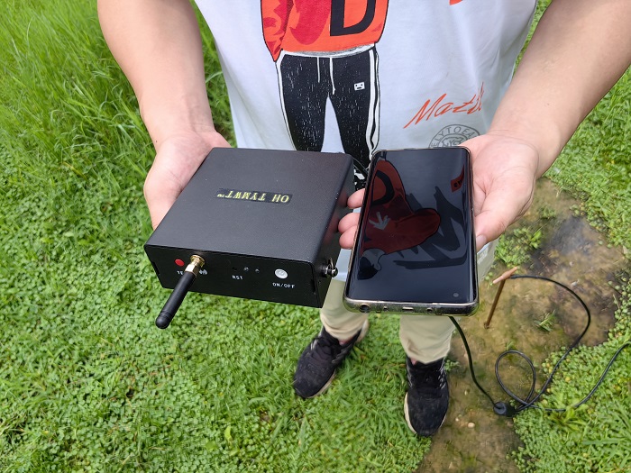
Different groundwater detection technologies use different physical principles. PQWT groundwater detection equipment uses measurements of natural electric field variations at different frequencies to analyze changes in subsurface electrical properties.
Because geological formations, fractures, sediments and water-bearing structures can have different electrical characteristics, these measurements can provide useful information for preliminary groundwater exploration.
How Can a Groundwater Detector Help Select a Drilling Site?
A groundwater detector does not replace geological investigation or drilling. Instead, it can provide additional information before a borehole is constructed.
A typical groundwater exploration process may include the following steps:
1. Review the Site Conditions
Before measurement, the survey area should be evaluated based on available geological, topographical and hydrogeological information.
Factors such as terrain, known wells, surface drainage and local geological structures can help determine where measurements should be performed.
2. Collect Geophysical Measurements
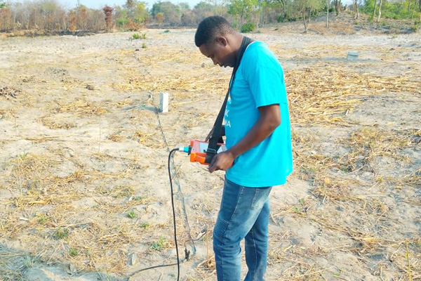
The operator places the measurement lines and electrodes according to the equipment configuration and survey plan.
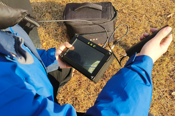
The instrument then records electrical field information at different measurement points and frequencies.
3. Analyze Subsurface Variations
Changes in the measured electrical response can indicate differences between subsurface materials.
These variations may help identify geological structures that warrant further investigation, such as potentially water-bearing formations, weathered zones or fractured rock areas.
4. Compare Potential Drilling Locations
Multiple measurement points can be compared to identify areas with more favorable geophysical characteristics.
This allows the survey team to evaluate several potential drilling locations rather than relying on a single observation.
5. Confirm the Site Before Drilling
The final drilling location should be determined by combining geophysical results with geological and hydrogeological information.
A groundwater detector provides supporting information; it should not be treated as a guarantee of groundwater quantity or drilling success.
What Factors Affect Groundwater Detection?
Groundwater exploration results can be influenced by many factors, including:
- Geological structure
- Rock and soil composition
- Groundwater salinity
- Surface conditions
- Topography
- Fractures and faults
- Electrical interference
- Measurement layout
- Operator experience
For this reason, field measurements should be planned according to local geological conditions and interpreted together with other available information.
Where Are Groundwater Detectors Used?
Groundwater detection equipment can support preliminary surveys for a range of projects, including:
- Water well site selection
- Agricultural water exploration
- Rural water supply projects
- Groundwater resource surveys
- Geological investigations
- Engineering and construction projects
The appropriate equipment and survey method depend on the geological environment, required exploration depth and project objectives.
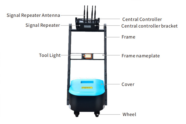
PQWT Groundwater Detection Equipment
PQWT develops groundwater detectors and geophysical exploration equipment for groundwater surveys and related field applications.
The product range includes systems designed for different exploration requirements, including automatic mapping and geophysical measurement solutions.
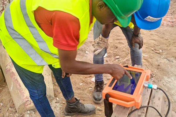
For example, PQWT automatic mapping groundwater detectors can display measurement results and geological profiles to help operators evaluate subsurface variations during field surveys.
Groundwater Detection Before Drilling
The main value of a groundwater detector is to provide additional subsurface information before drilling begins.
Instead of selecting a drilling location based only on surface conditions, a geophysical survey can help the project team compare different areas and identify locations that deserve further geological investigation.
However, groundwater occurrence is controlled by complex geological and hydrogeological conditions. Therefore, geophysical results should be interpreted together with local geological data, existing well information and professional hydrogeological assessment.
FAQ
Can a groundwater detector guarantee that water will be found?
No. A groundwater detector provides geophysical information that can support groundwater exploration and site selection, but it cannot guarantee groundwater availability or a specific well yield.
Can groundwater detection be performed before drilling?
Yes. One of the main purposes of a groundwater survey is to collect subsurface information before drilling so that potential drilling locations can be evaluated.
What information can a groundwater detector provide?
Depending on the technology and equipment, groundwater detection systems can provide information about subsurface electrical variations and geological structures that may be relevant to groundwater exploration.
How should a drilling location be selected?
A drilling location should be selected by combining geophysical measurements with geological, hydrogeological and site-specific information.
Is groundwater detection suitable for agricultural water projects?
Groundwater detection can be used as part of preliminary surveys for agricultural water projects, particularly when the project requires new wells or additional groundwater sources.
Conclusion
Groundwater exploration is a process that requires geological information, field measurements and professional interpretation.
A groundwater detector can provide useful geophysical data before drilling, helping survey teams compare potential areas and better understand subsurface conditions.
For reliable water well planning, geophysical results should always be evaluated together with local geological and hydrogeological information.